Just completed as of 1:11am Tuesday morning. Started 12:36pm Saturday. Guesstimating three days. If I had done the drive IRL (including time for rest, bathroom breaks, heavy traffic and road work), probably a day and a half. Google Earth assumes you’re a robot (as sleep is for the weak) and traffic doesn’t exist, so it claims you could do this in 11 hours and 22 minutes. …Hardly.
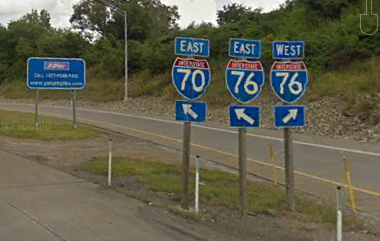
Five states I have (virtually) traveled through to my destination, Pennsylvania being the biggest (and most beautiful) because of the heart of Appalachian Mountains going through it. 8 interstates I have (virtually) traveled on (with I-70 being the longest). I was even on the famous Pennsylvania Turnpike (I-70/I-76) that cuts through the Appalachians.
So your question, why did I do it? Because I have no life! 😜 That and I was curious of how I could handle it. Plus, I don’t think you folks know that the other thing that I’m a fan of (than all things dragon), is my first love; interstates, their signs, and interchanges. Call it a very strange thing to enjoy, but we all have our weird things.
And helping me on this crazy endeavor of mine, a simple AutoHotkey script I made that simulated moving the mouse wheel up every half a second (was later modified and cleaned up by a member in the AHK Discord to include ways to pause the script).
–
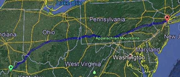
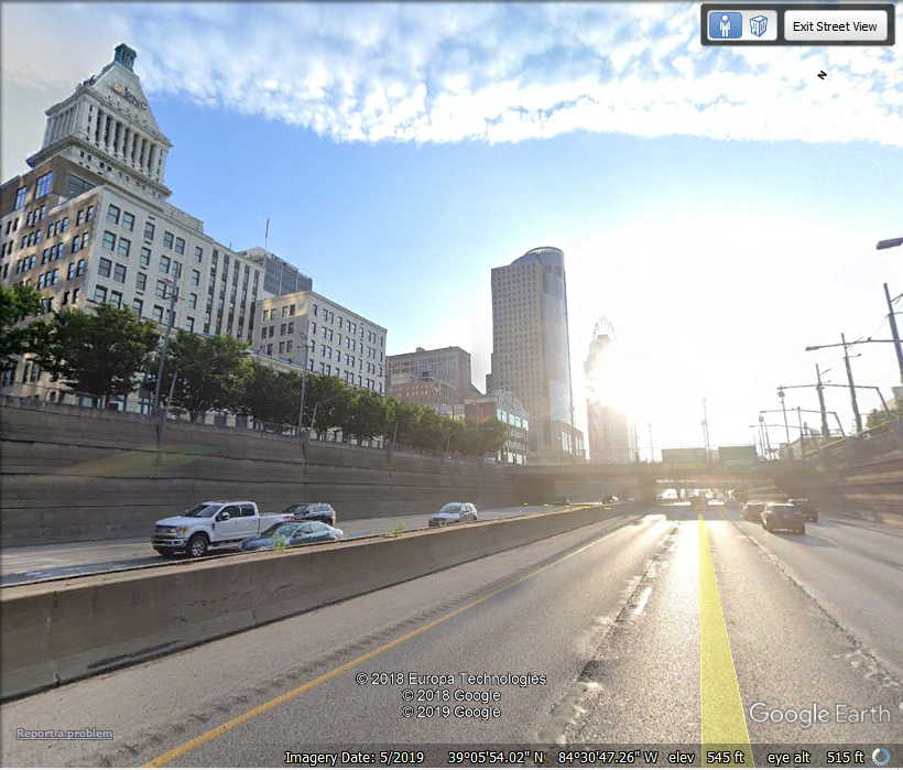
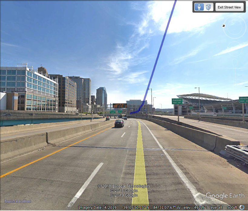
Took several pictures of my virtual drive (after arriving in Cincinnati, OH). Never have I been on I-71 beyond I-75 IRL (as we would be going to Dayton to see the Air Force Museum).
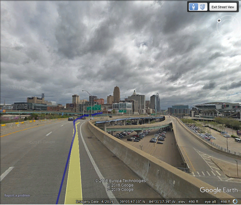
…and Cincinnati is still is a freakin’ beautiful city.
Most boring route was leaving Columbus, OH on I-70 (from I-270). I once thought of giving up of how long it was (and I believe one time I even fell asleep). But I kept at it as I could see I was getting closer and closer to West Virginia and then Pennsylvania.
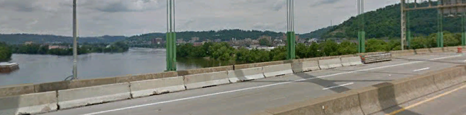
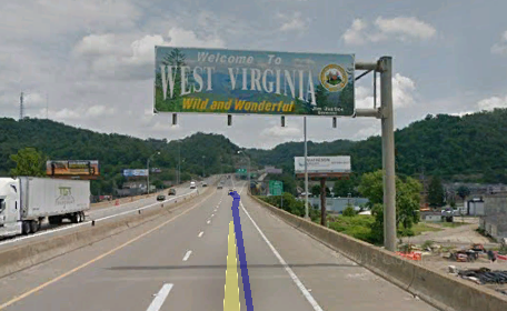
The gateway to West Virginia is a modest riverside port city called ‘Wheeling’, and what was even cooler is the river it’s apart of.. is the Ohio. So that means I crossed over this river three times; once when leaving my city in Indiana, once while entering Cincinnati, and now with Wheeling, WV.

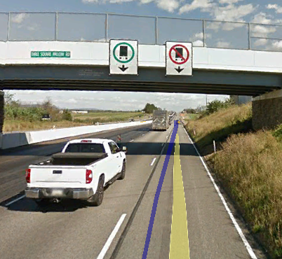
Thankful for this being a solo virtual drive. Could just imagine if I was streaming my journey to a friend and they saw the sign, they would do this to me.
I-470 served as a bypass of the city, and eventually I re-joined with I-70 which entered..
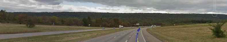
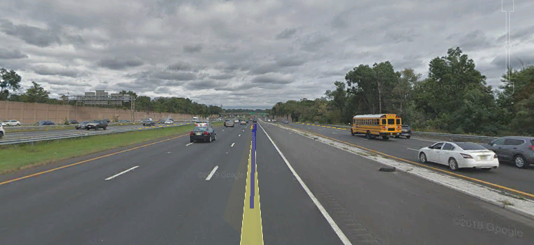
 Crossing this huge state not only was fun (because of the Appalachians), but the interesting way they do road work (of making it a requirement to use your headlights when in a work zone). Plus having emergency pulloff lanes that go to dirt roads (for areas with no shoulders).
–
After getting on the famous Pennsylvania Turnpike (a toll), things were getting crazy;
With exits further East (where I was going), and to Pittsburgh.
Then.. the real beauty began (when I went shutter crazy) when you feel you’re in a Jungle Biome from Minecraft.
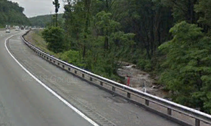
Does your interstate have a babbling brook next to it?! I didn’t think so!
How can you NOT love nature’s beauty?! 😎
A quarter into PA, things went a bit strange with the signs;
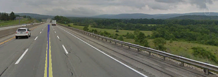
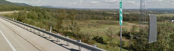
But the beauty wasn’t done, as I (virtually) neared mile marker 200 of I-70/76. Also something about the mile markers in PA, they actually do a .1, .2, .3 etc all the way to the next mile;
Soon, I-81 took over, finally leaving I-70 behind as it was heading for Washington D.C. But this route (via US 11 to I-81 North) took me through a small town called.. ‘Middlesex’. What the fuck. I am not making this shit up.
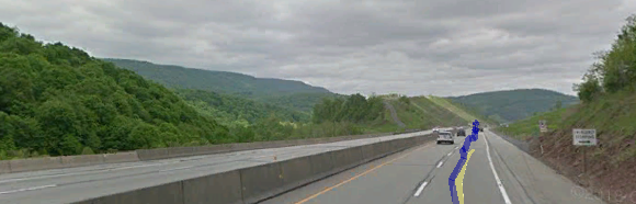
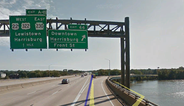
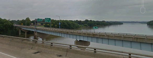
Beyond that, I have these pictures as I was approaching another large town called Harrisburg;
And the interesting downtown Harrisburg exit, over a river;
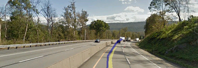
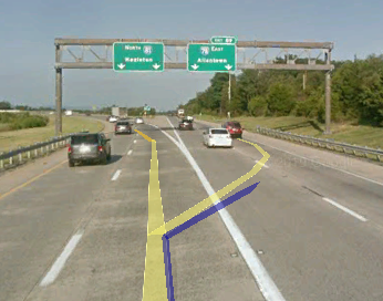
Soon, I-81 was going too far North and I needed to go more East, so I-78 came into play;
I-78 carries me allllll the way to the New Jersey border, as I’m 3/4 in PA and slowly approaching its eastern border. The gateway is called Easton. But virtual night was
falling… aka when Google’s Street View people thinking it’s awesome to do a late evening drive– where the longer it goes, the more pixelated it gets.
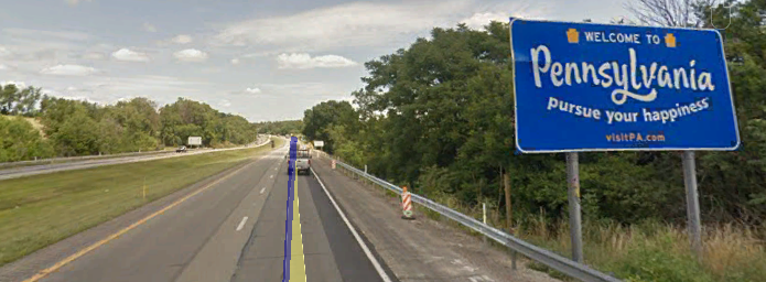
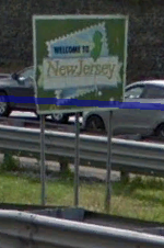
A great example of what I mean is when finally leaving PA for NJ, trying to take a picture of the welcome sign of the state.

Look at that shit. This is what I’ve been having to occasionally deal with. I literally had to go to I-78’s Westbound side (backwards) to get a better picture;
Quite the difference between night and day, huh? Luckily for me it didn’t last long as there was an earlier drive from 2017 that took over.
Two things make the route to Newark and eventually my destination, interesting. First its their traffic safety system having areas were fines are doubled if you’re caught speeding.
And second…
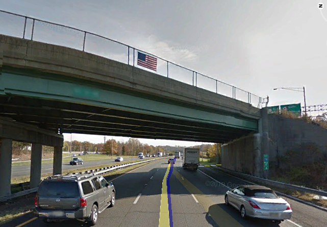
‘MURICA!! Where we hang flags on the sides of our overpasses!
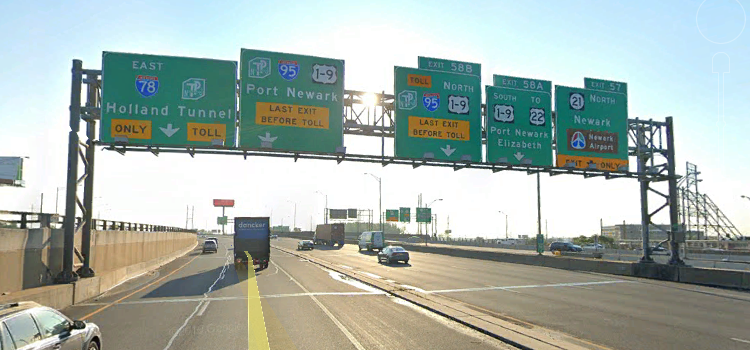
Getting closer and closer to Newark (New Jersey is so tiny compared to the other states I’ve been in), things would really get interesting as I-78 was about to split in two (with a LOCAL and EXPRESS route).
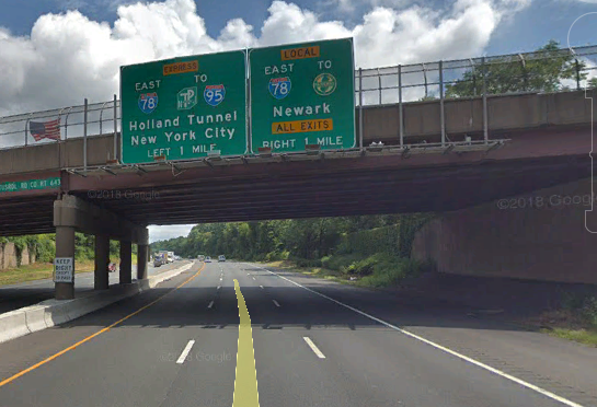
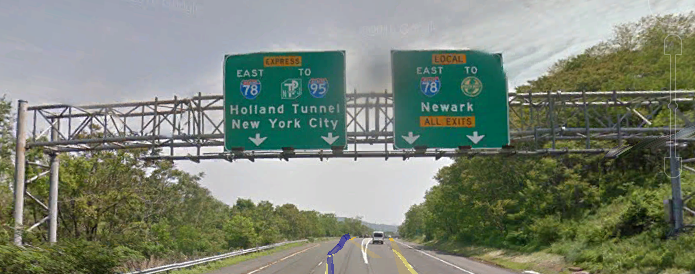
Since I’m obviously not from around here (and I need I-95 to reach my final
destination), I used the Express route. Freakin’ cool how there were two I-78’s, though.
But as this split was happening, I was having issues where there was no Express I-78E street view routes at times. Made it difficult to get pictures on interesting signs, but I still managed to get what I could.
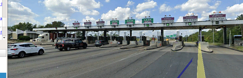
Soon it was TOLL time as I’m going through Union, NJ. Also now there’s a 3rd highway?!… crazy road engineering shit. I love it!
The craziness that happened after the toll (as I-78 put itself back together)…
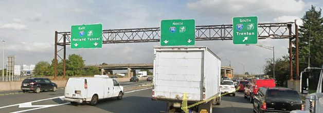
With the traffic shuffle clearing, it was time to finally leave I-78 (it served its purpose of getting out of PA) and get on I-95 North.

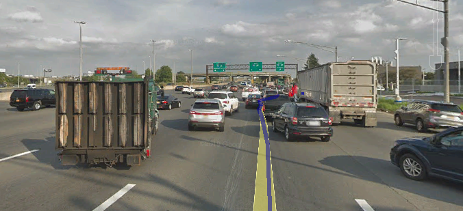
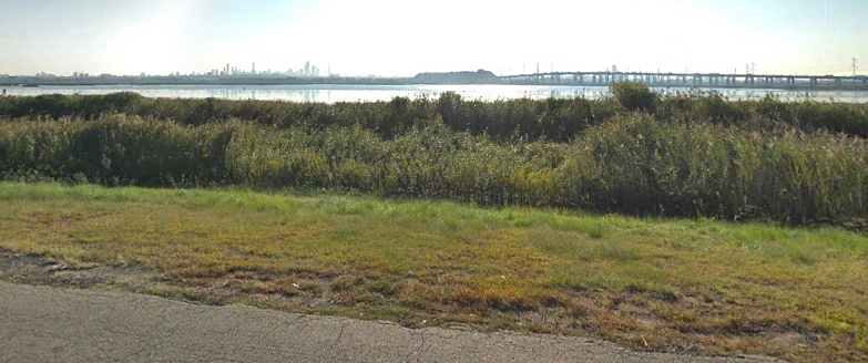
Hello, I-95 (where it looks absolutely crazy with 6 lanes going North and 3 going South). Thing is, I never actually merged onto I-95 until later on. This craziness was still going.
Later, the lanes to the left actually went under the one I was on, and I finally merged onto I-95. And that route kept going into the distance. To my right is New York City.
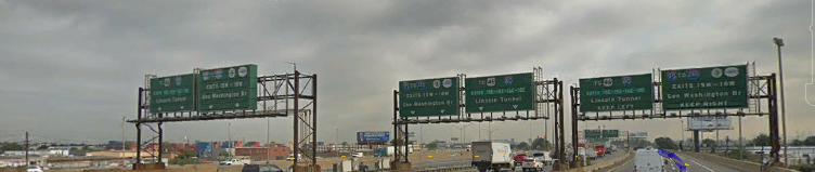
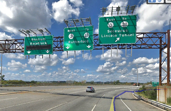
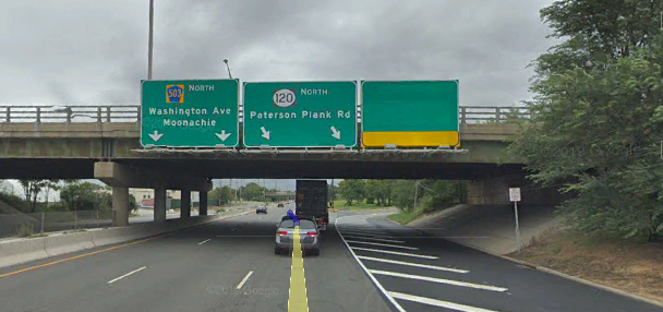
And finally, after traveling through multiple states and traveling on multiple interstates.. I have reached my exit (with its own set of craziness).
For this wasn’t a standard exit… sure it had a toll booth, but it turned into its own highway.
…Which ALSO turned into a highway.
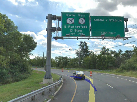
And kept doing this…
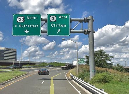
Over…
And over!
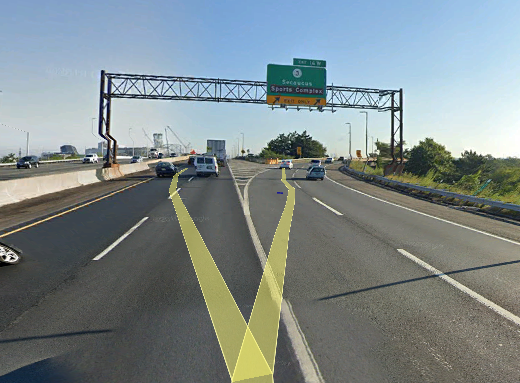
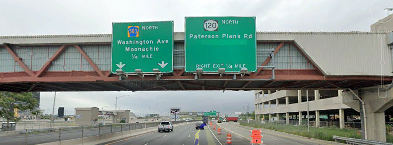
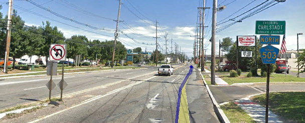
Things started calming down for a bit, entering the high tech town of Carlstadt. Finally the destination city!
…Oh no, not AGAIN!! But look at the sign names.. ‘U-TURN’?! What? And why is the route line saying to go straight and then go through it?
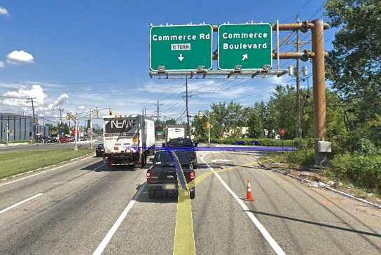
Whatever it was, it was another ramp that went around and had me facing the way that blue-purple beam was going. I also got this.. interesting picture of a traffic light.
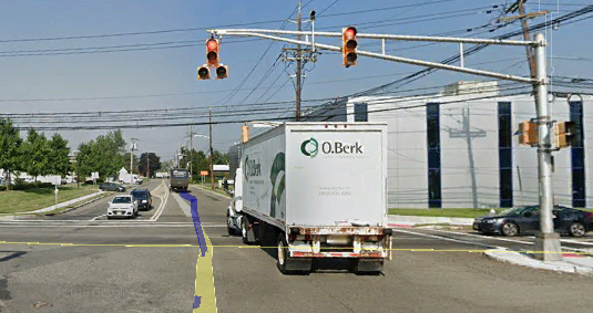
..REALLY?! Grow up! Anyway, I had no idea the road ahead would.. finally…
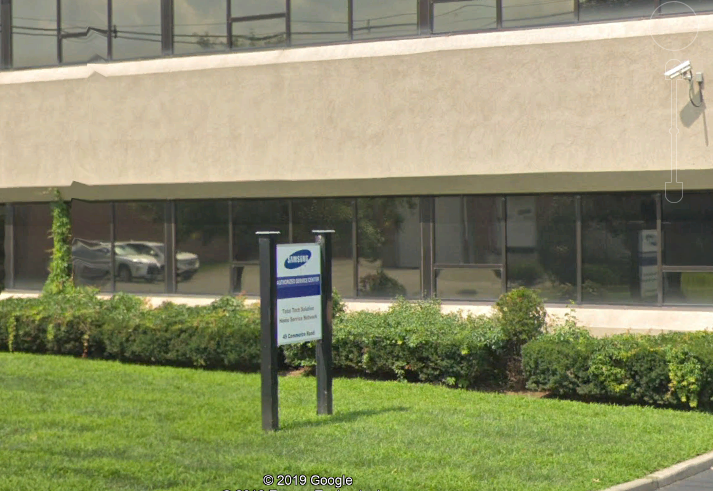
“You have arrived at your destination.”
And so, I have finally arrived, where I’ve been impatiently waiting here (as I cannot go any further in). I will be virtually be flying back home once I get word from UPS this company has shipped it back to me.